 LM1-010.jpg Unknown |
 LM1-011.jpg ?? |
 LM1-012.jpg ?? |
 LM1-013.jpg Sawmill in town?? |
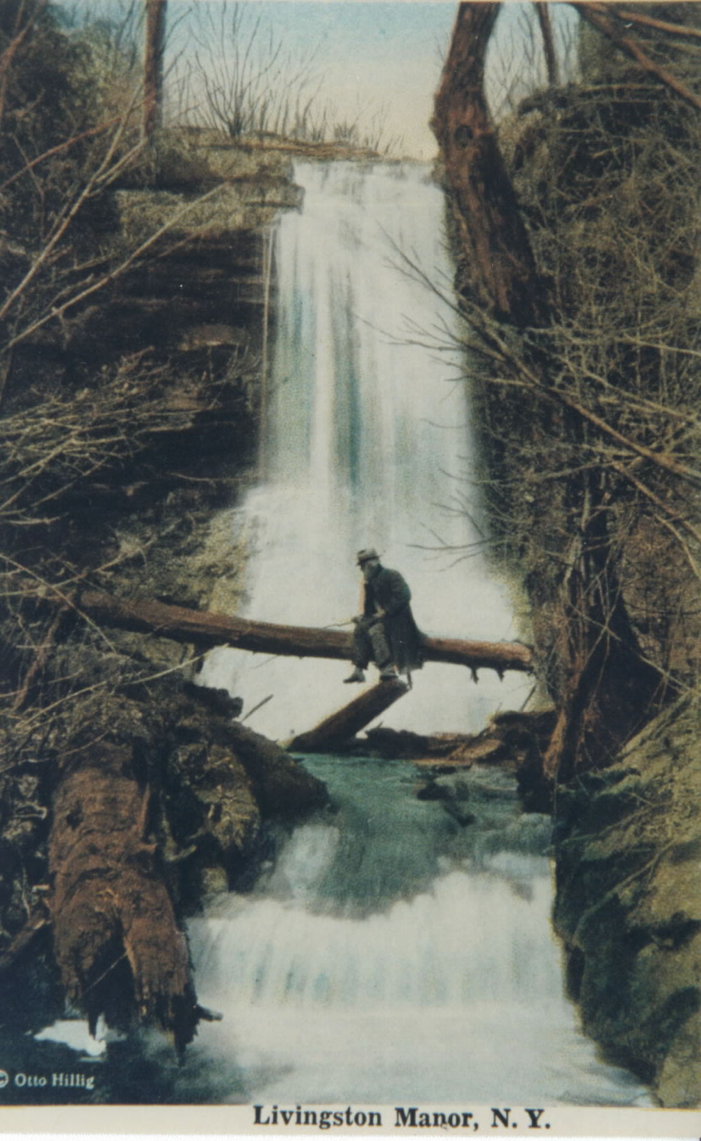 LM1-014.jpg
Livingston
Manor Falls - The falls is most likely
that of the lower falls along the Cattail Brook. The Old Homestead Water
Company erected a dam at these falls, which powered the generators for the
first municipal electrical plant in the Manor.- Fred
|
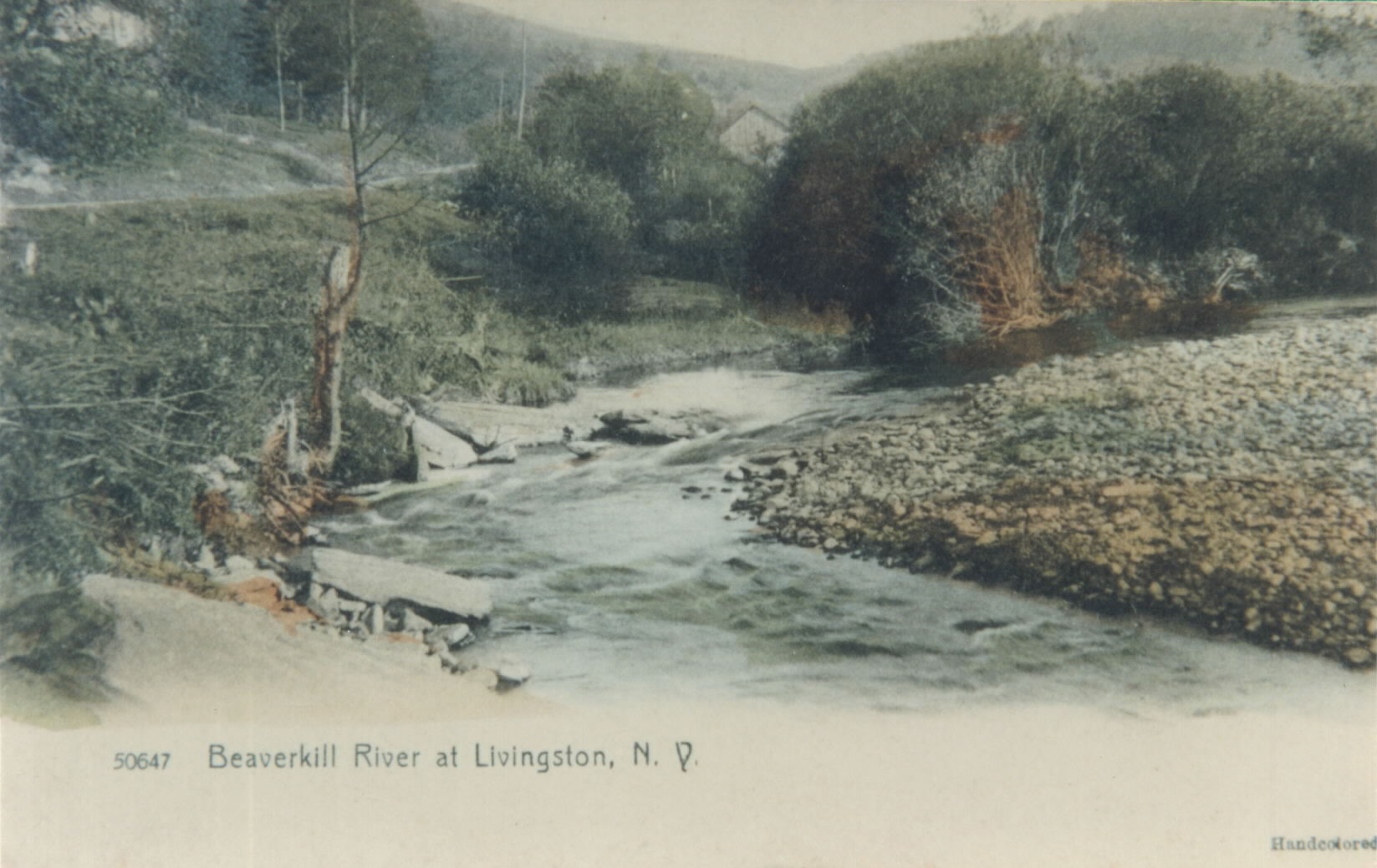 LM1-015.jpg Though the card says that it is the Beaverkill at Livingston Manor, it is actually a photograph of the Willowemoc River, along the DeBruce Road, just outside of Jacktown. It is at the upper end of the mill pond.- Fred |
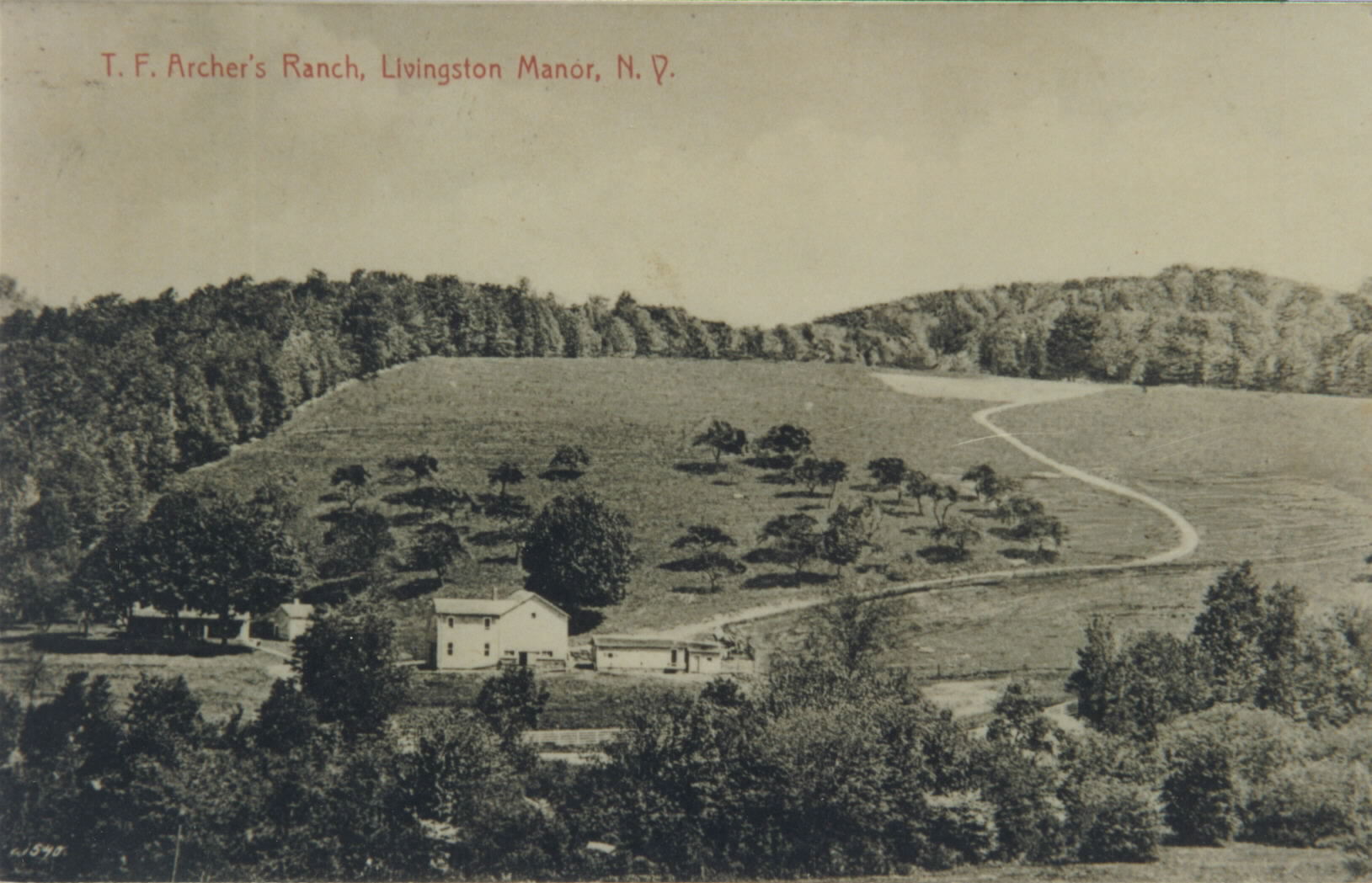 LM1-016.jpg
T.F. Archer was a realtor from New York who
acquired many farms in the area during the early 1900's. This appears to be
the farm located along old Route 17, where the Bascomb Brook empties into
the Willowemoc Creek, just past Byron VanAken's, or White House Curve. If
that is the case, then it was the old William Rose place.- Fred
|
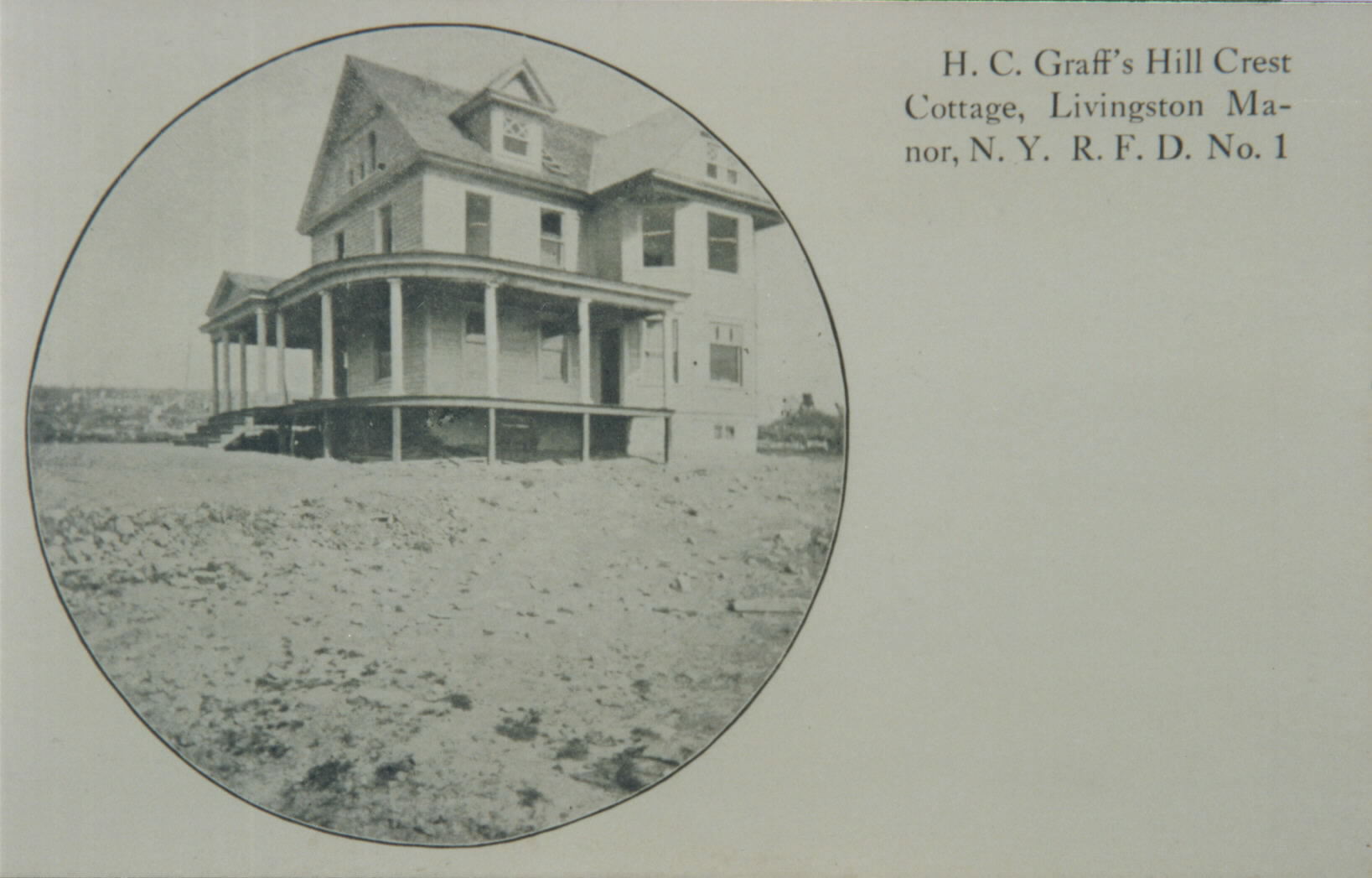 LM1-017.jpg H. c. Graff's Hillcrest Cottage - Henry Graff place, located on Shandelee along the Hahn Road to Callicoon Center. When the Graff family first came to America in 1848, they moved to Callicoon Center and the family lived in a cave on this property before they were able to finish their first residence, moving in during the winter. - Fred |
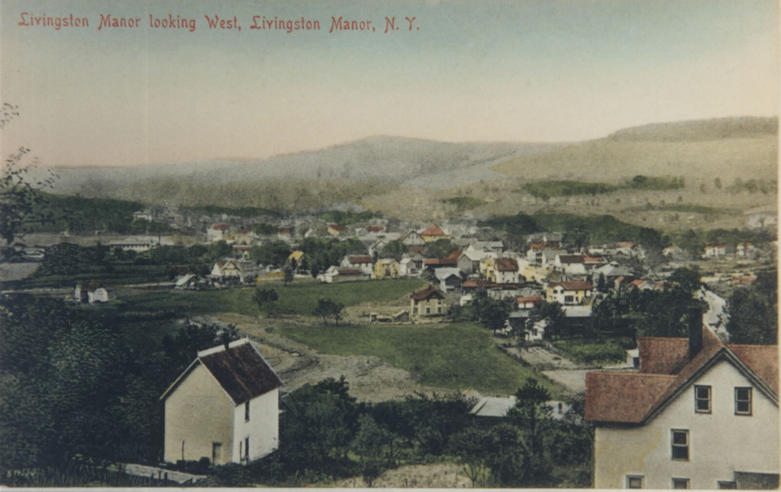 LM1-018.jpg This view of Livingston Manor was taken from up behind the Monroe Wright house. Main Street of town would be at the right center of the photo |
Page: 1 2 3 4 5 6 7 8 9 10 11 12 13