Burke Residence – DuBois Street, Livingston Manor, NY
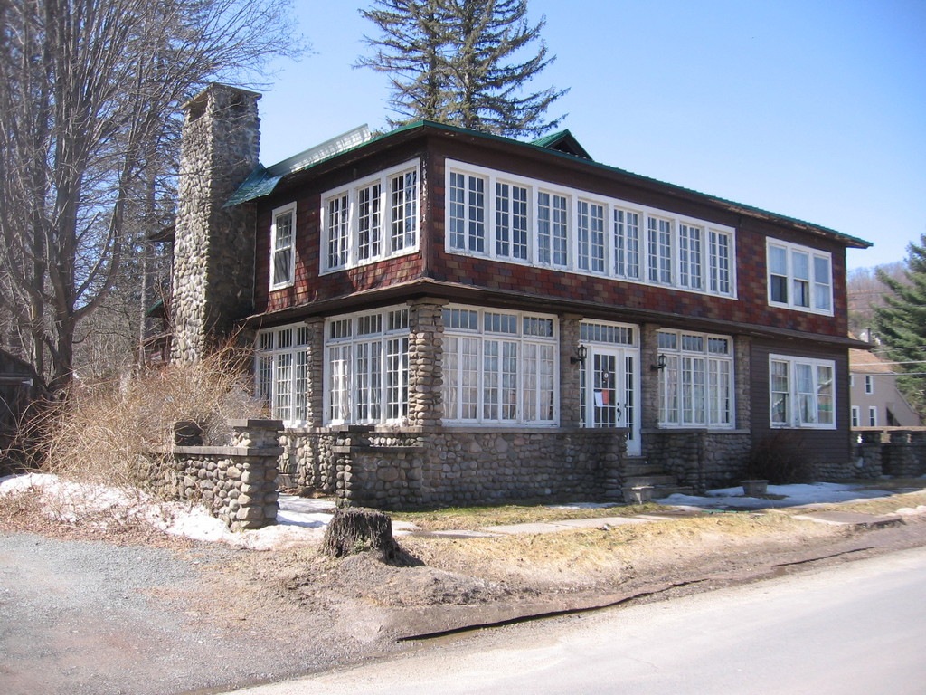
The building that was the DuBois Street residence of Dr. Victor Burke
had long been of interest, partly to its rather curious physical
appearance of modified craftsman bungalow architecture seemingly
enveloping the original structure, as well as the building’s residents,
Dr. Victor G Bourke, and before him, Edmund Fish. The “original
structure” opinion comes from observing the existing building’s roof,
where two gable ends appear to poke through the present roof lines,
suggesting perhaps that there is a house within a house. However, never
being inside the structure, this opinion may or may not be true. A close
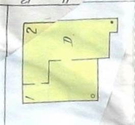
inspection of the basement, which assessment records state that it’s
only a partial basement, may help to prove, or disprove, that opinion.
The earliest newspaper account that may be related to this structure
comes from the April 17, 1890 edition of the Livingston Manor newspaper
publication known as The Ensign;
William Smith sold his house and
lot on DuBois Street to Edmond Fish of Scranton. Consideration unknown.
A deed search verifies the date of the sale as well as the location of
the property. A close inspection showing a portion of the 1894
photograph of the village shows the first known image of this structure;
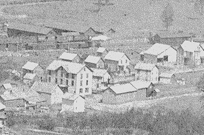
The large three-story building at left center of the image is the Manor Grange Hall, now a vacant lot on the corner of DuBois Street and Main Street. DuBois Street in this image, at its junction with Main Street, begins just to the left of the Grange Hall and follows along the line of buildings toward the right. The Edmund Fish residence [Burke] is the partial structure in view, in line on DuBois Street, behind the Grange Hall.
If anyone has more information please contact us - Fred
|
Bourke House
Livingston Manor DuBois Street---
Fred
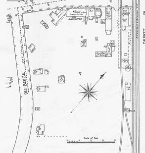
The 1892 Livingston Manor Sanborn Map shows a section of
Dubois Street within the water district but does not show
the residence of Edmund Fish. It is unknown why the building
is not shown since local newspapers refer to it in 1890. The
portion of the building on the corner of Main and DuBois
streets that shows on the map was the Manor Grange building.
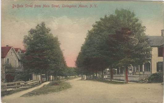
This post card shows DuBois Street about the year of 1911.
The building on the right, with the picket fence is the Fish
residence.
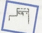
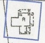
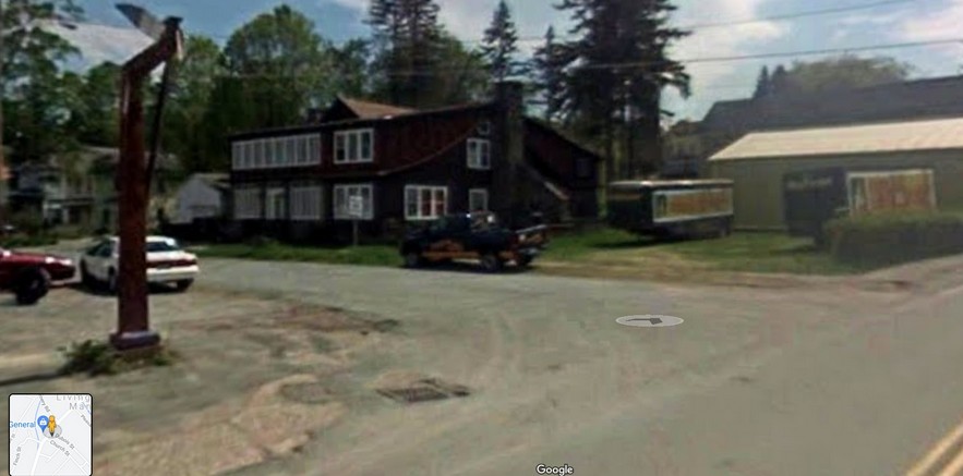
In all the images, the structure is orientated in the same
direction, the upper side of the structure is facing north,
and DuBois Street. Though more alterations may have occurred
since 1936, it is easy to see, by following the changes from
1897 to 1936, how the building has been transformed into its
current appearance
1936 >
Harold Van Aken
|